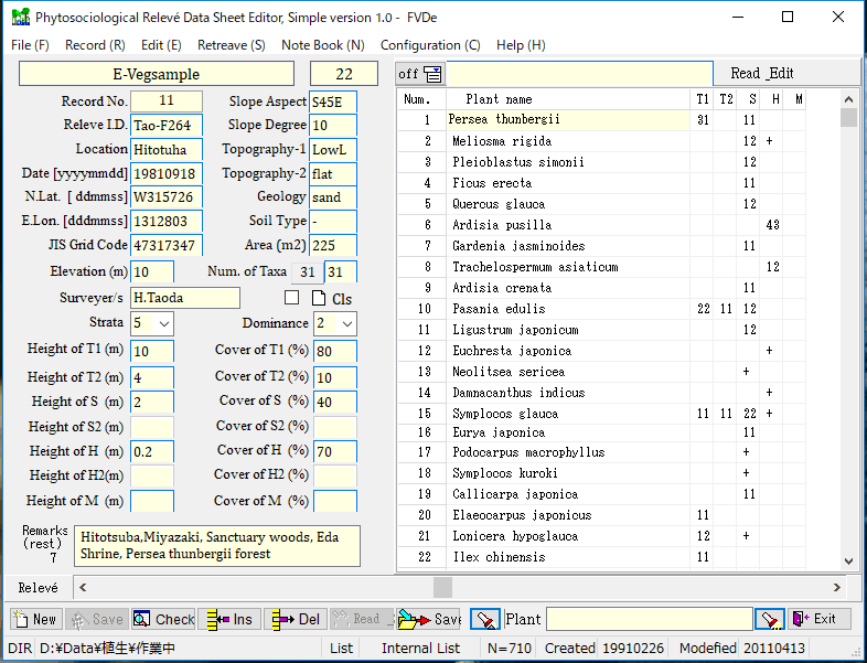
Construction and management system of the PRDB
The PRDB is operated by a application software, the FVD as Database Management System, run in a Windows(R) environment, compiled by H. Taoda
(
https://forests-world.cocotte.jp/fvdb/).
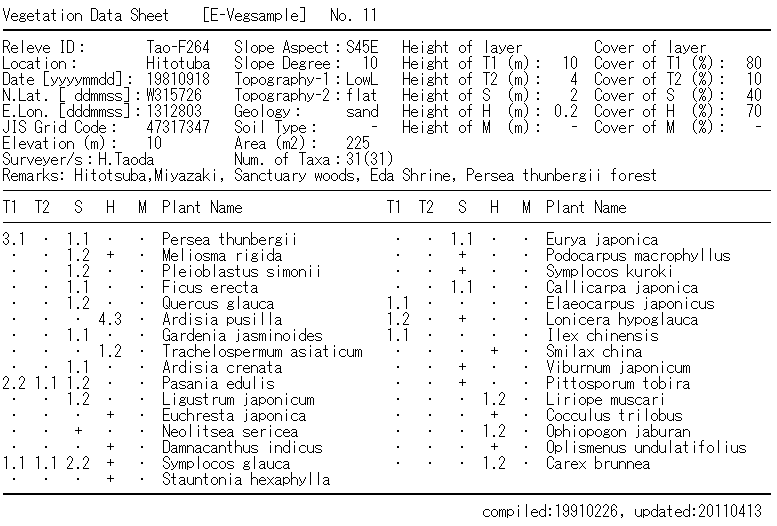
The FVD helps users input and accumulate relevé data from field records and literature in database files.
The FVD can export data in the text/csv format. A relevé datum comprises the ID no., survey date, surveyor name, references,
remarks, surveyed area, location (place name, ID no. of Standard Area Grid cell, longitude, latitude, elevation),
environmental data (inclination, aspect, topography, surface geology, soil type), community-structural data (height and
vegetation cover of each layer of tree-1 and -2, shrub-1 and -2, herb-1 and -2, and moss), and floristic data (species no.,
species name, coverage and sociability of each species). The ID no. of Standard Area Grid cell (the second or third mesh
code), which is necessary for relevés to be linked to environmental data, are determined based on the information
on location map, place name, elevation, topography, slope aspect, etc.