Site-comprehensive charts are combined in SiteKmlsCombinedE.kml for all the surveys conducted since 2000.
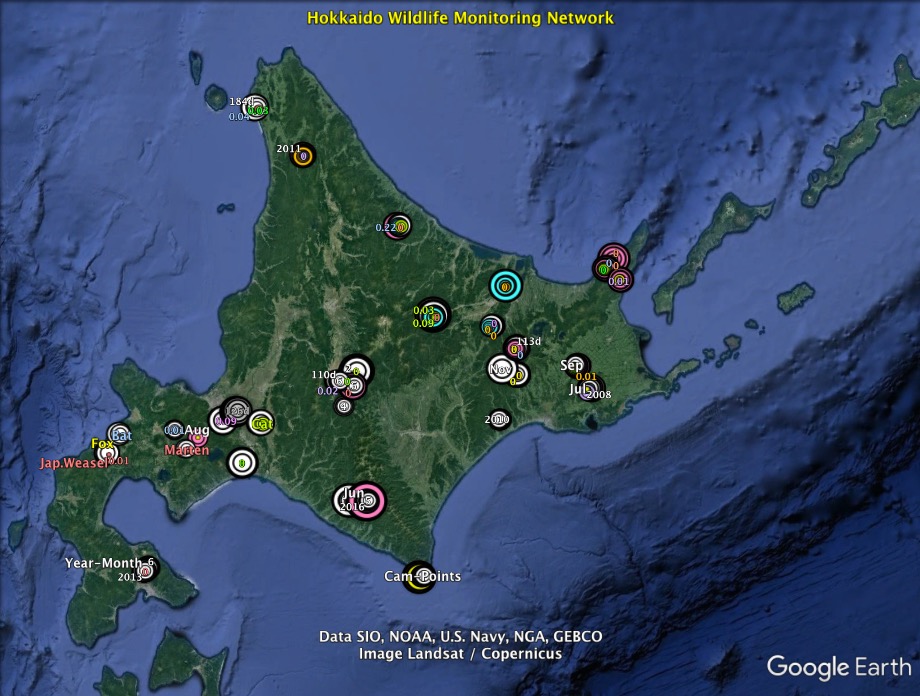
Download the kml file and open it with Google Earth to see the survey results.
Double-clicking the downloaded kml file will start Google Earth.
Make sure that the sidebar is open on the left side of the window (choose "View" from the menu and check "Sidebar").
Confirm that "SiteKmlsCombined.kml" is visible.
1) Double-clicking the "Round-Trip" will let you visit the sites one after another to view the data charts. It takes about 7 minutes.
2) Double-clicking one of the site names in the sidebar will let you selectively visit the site.
For details, please refer to How to use kml files.
For more information on each site, please click the site name on the sidebar of this webpage.
Home