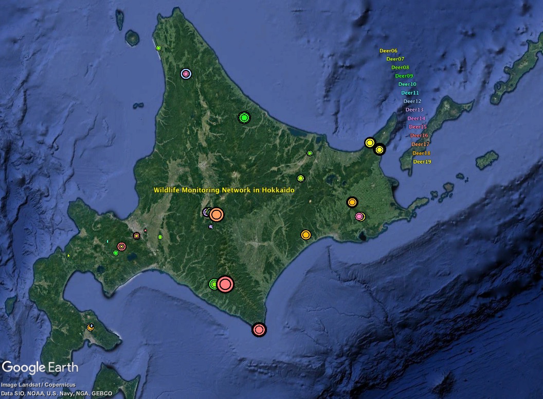
Download deerE.kml and open it with Google Earth. The results can be displayed separately by years since 2006.
Photo-capture rates (the number of photos per 24-hour and per device) are indicated by the size of circle.
Although photo-capture rates reflect the density to some extent, they are also under the influence of many other factors (How to read data).
Although photo-capture rates reflect the density to some extent, they are also under the influence of many other factors (How to read data).
Home